St Malo Ferry Port and Terminal Information
St Malo Ferry Port is located conveniently on the north coast of Brittany and offers routes to Portsmouth, Guernsey and Jersey.
Receiving more than a million passengers a year from the UK, St Malo is not only one of the largest ferry ports in France but also one of the busiest. St Malo also has the best of both worlds being closer to Brittany than other French ports whilst still having great access to the larger road networks.
St Malo Ferry Port Address
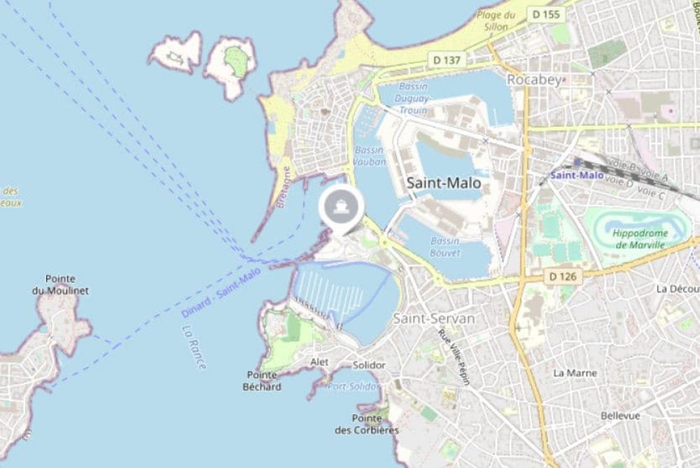
St Malo port is located at Gare Maritime du Naye, St Malo, 35400. The satellite navigation coordinates are 48.642572,-2.024215.
What is the postcode for St Malo Ferry Terminal?
The postcode for St Malo Ferry Port is 35400.
How to get to the terminal
The ferry terminal is easily accessible by road, rail and on foot.
By Car
If you’re travelling by car you’ll find that the port is connected directly to the French road network by the N137 giving easy access to the rest of France.
By Bus
If you’re travelling by bus then you’ll find a regular bus service that operates between the Port of St Malo and the town centre.
By Train
The closest train station is located in the centre of St Malo just a 20-minute walk from the terminal. From the station, you can catch trains to a number of destinations including Paris.
St Malo Port and Terminal Facilities
Key features include:
- Ticket office
- Cafeteria
- Paid parking available
- Toilets & showers
- Baby changing area
- Tourist information
- Free WiFi
Book your ferry to St Malo
Find out more and book your ferry crossing from Portsmouth to St Malo, Guernsey to St Malo or Jersey to St Malo.


