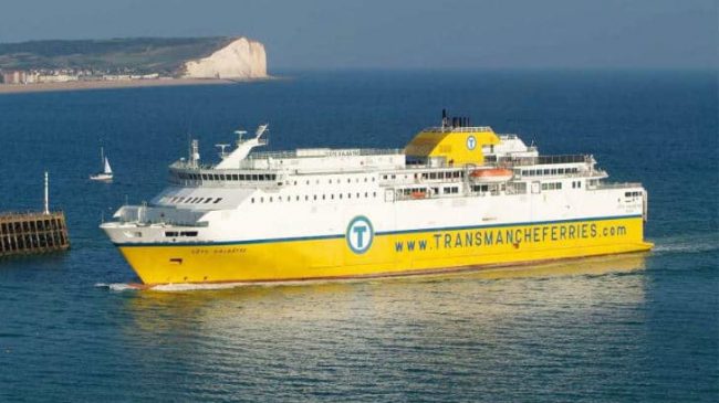
Le Havre Ferry Port
Le Havre Ferry Port is located on the coast of Normandy and offers ferry crossings to Portsmouth on the south coast of England.
The closest ferry port to Paris and the second-largest in France, Le Havre is highly popular with travellers due to its direct motorway links which allow easy access to many popular holiday destinations in France.
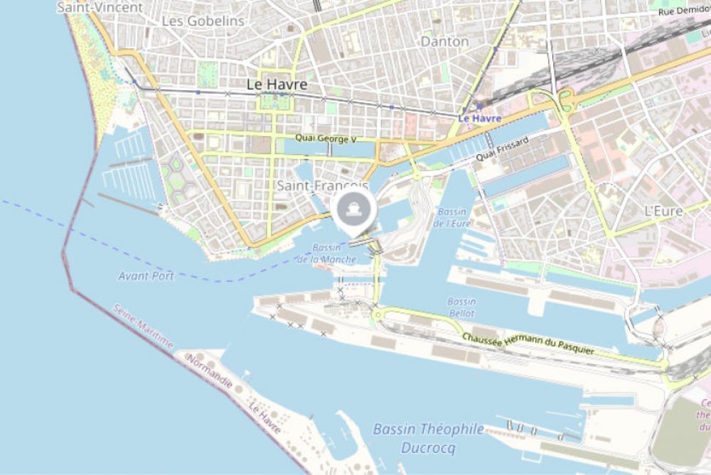
Le Havre Ferry Port Address
Le Havre port is located at Terminal de la Citadelle, Le Havre, France. The satellite navigation coordinates are 49.485412, 0.114563.
What is the postcode for Le Havre Ferry Terminal?
The postcode for Le Havre ferry port is 76600.
How to get to the terminal
The ferry terminal is easily accessible by road, rail and on foot.
By Car
If you’re travelling by car you’ll find that the port is connected directly to the French road network via the A131/A13 towards Paris, A29 towards Amiens and via the A29/A13 into Normandy. The ferry terminal and port are well signposted from all directions.
By Bus
If you’re travelling by bus, there are bus stops near the entrance of the port that goes to the town centre. From here you can travel onwards to the rest of France.
By Train
The closest train station is just a few minutes away by foot, in the centre of Le Havre. There is also a free shuttle bus from the port to the station. There are regional trains available from the station along with regular train services to Paris that take around 2 hours.
Le Havre Port and Terminal Facilities
Key features include:
- Ticket office
- Free public car park
- Toilets
- Vending machines
- Baby changing area
- Seating
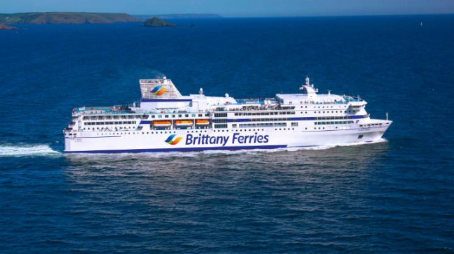
Book your ferry to Le Havre
Find out more and book your ferry from Portsmouth to Le Havre.